
Feature · Flying & Procedures
A map toggle with live aircraft
The corner map now shows the other airliners as they fly, taxi and climb, and a Map button (or M) turns it on and off.
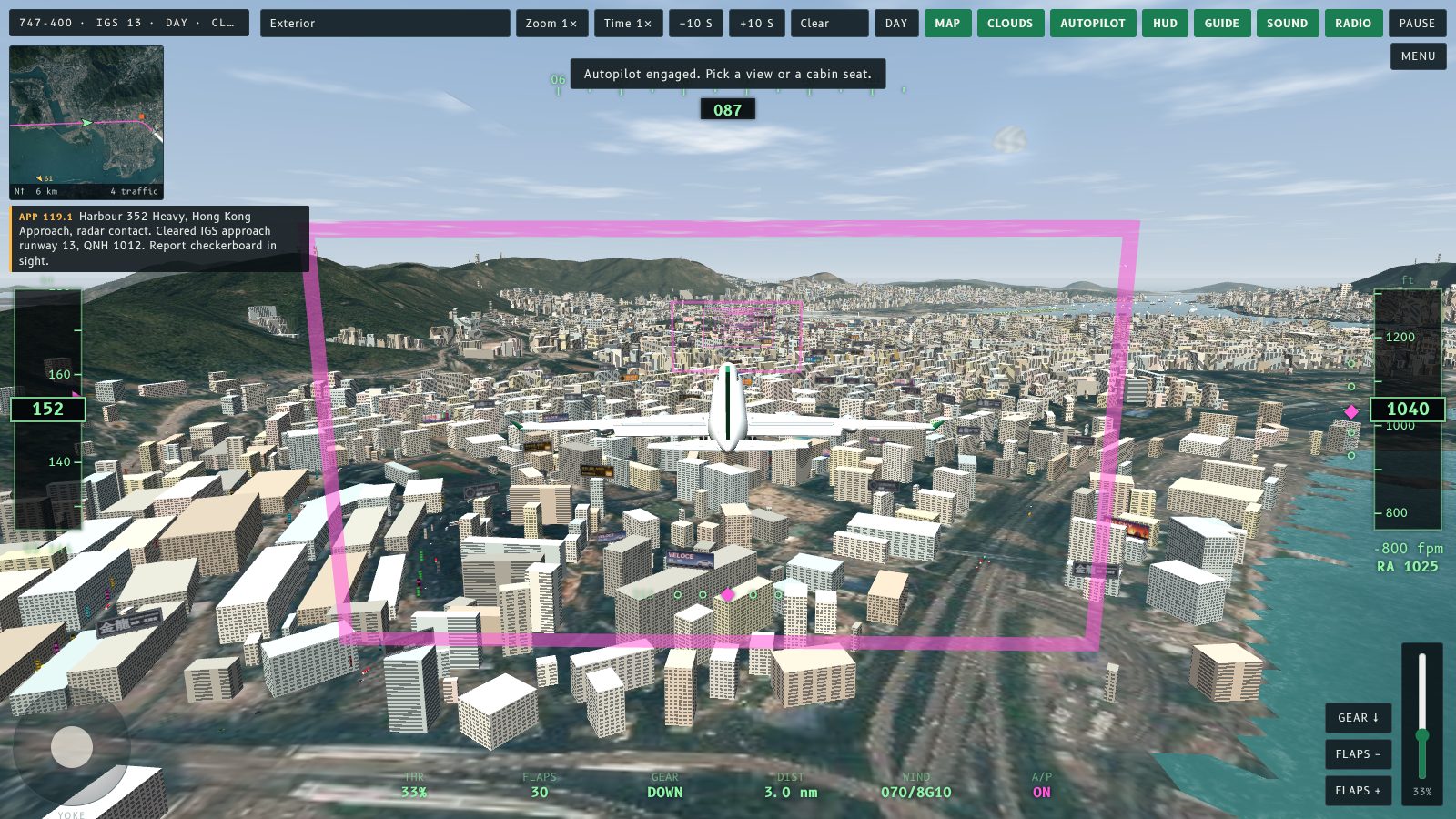
The corner map now has a Map button, and it shows the other aircraft as well as yours. Press M or tap Map to show or hide it.
What changed
The map used to show only your own aircraft, the IGS track and the runway. It now plots every other airliner in the sim: the 747 ahead of you, the A340 behind, departures climbing out over Kowloon Bay and the aircraft in the holds. Each one is drawn as a small arrow pointing the way it is heading. An aircraft in the air is amber, with its altitude beside it in hundreds of feet. An aircraft on the ground is grey. The count of aircraft on the map is in the bottom right corner.
The positions come from the sim's own clock, so they follow rewind, fast-forward and pause exactly like the aircraft you see in the window.
Hiding it
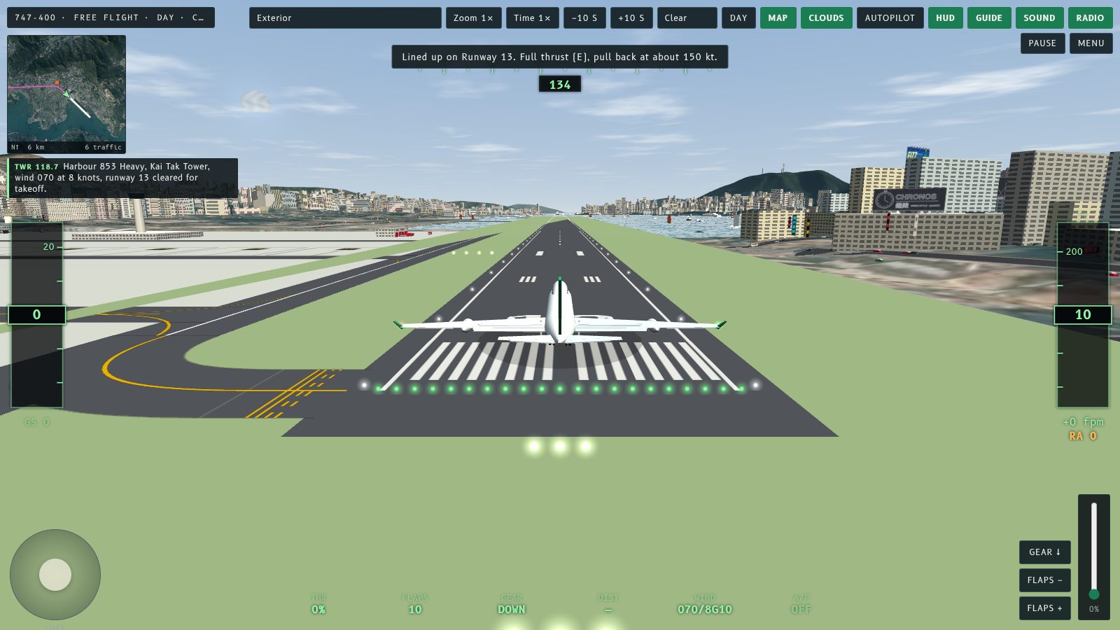
If you would rather fly by the view out of the window, press M or tap Map to hide the map. Press it again to bring it back. The map is not shown in Plane Spotter or the cabin view, and the Map button is hidden in Plane Spotter.
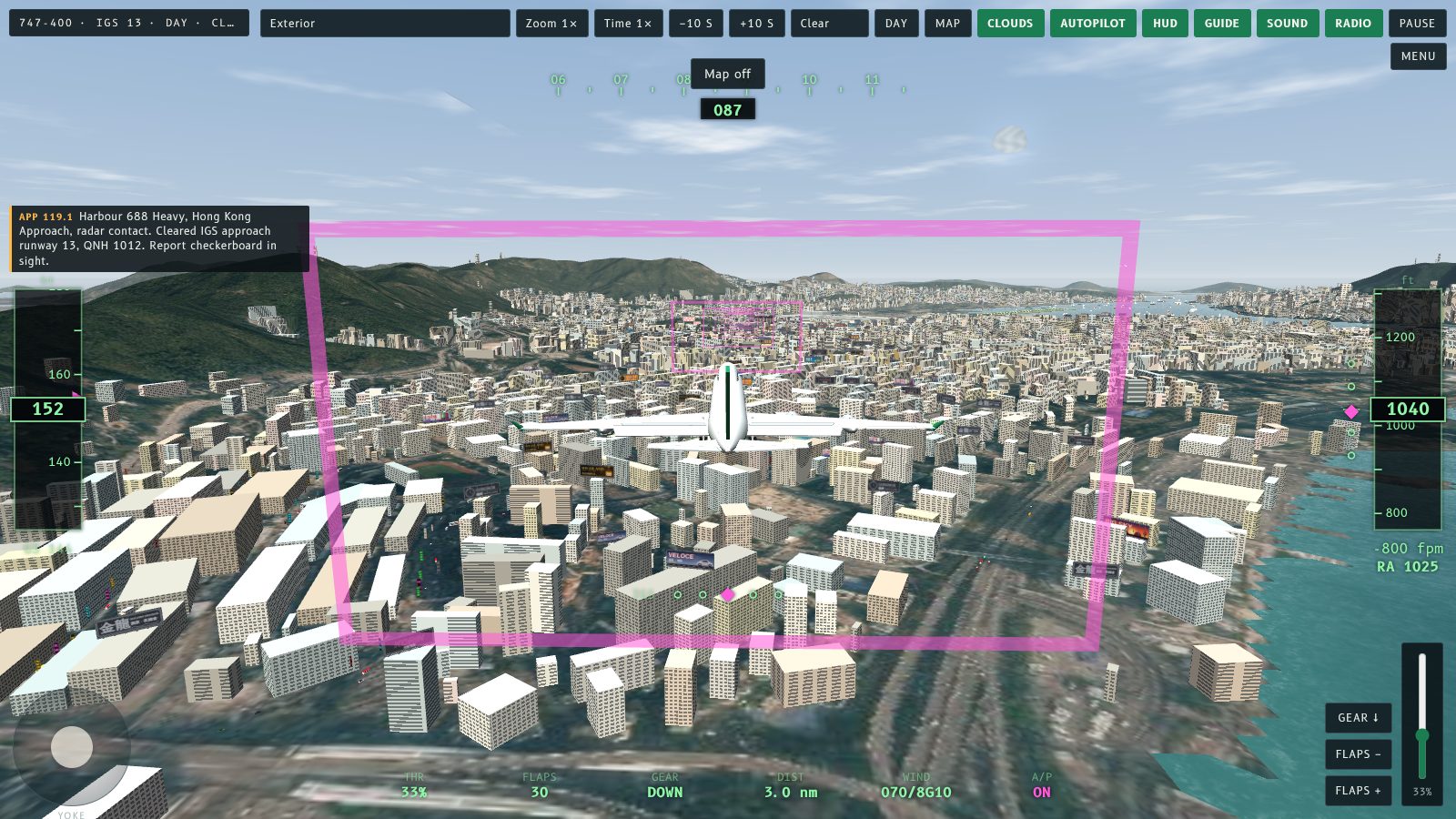
The map is for awareness, not a guide. The magenta line is still the IGS track, and the checkerboard is the orange square.
角落嘅地圖而家有個 Map 掣,而且除咗你部機,仲會顯示其他飛機。㩒 M 或者撳 Map 就可以顯示或者收埋。
改咗啲乜
以前地圖只係顯示你自己部機、IGS 航線同跑道。而家連場內其他客機都會畫上去:你前面嗰部 747、後面嗰部 A340、喺啟德灣上空爬升嘅離場機,同等候航道入面嘅飛機。每部機都係一個細箭嘴,指住佢飛嘅方向。喺空中嘅係琥珀色,旁邊有高度(以百呎計);喺地面嘅係灰色。地圖右下角有顯示地圖上飛機嘅數目。
位置係跟模擬器自己嘅時鐘計,所以快退、快進同暫停都會同你窗外見到嘅飛機一模一樣。
收埋佢
如果你想淨係睇窗外嘅景色飛,㩒 M 或者撳 Map 就可以收埋地圖,再㩒一次就會返嚟。Plane Spotter 同客艙視角入面唔會顯示地圖,Plane Spotter 入面連 Map 掣都會收埋。
地圖係用嚟留意四周,唔係導航。洋紅色線仍然係 IGS 航線,橙色方塊係棋盤。
More from the blog
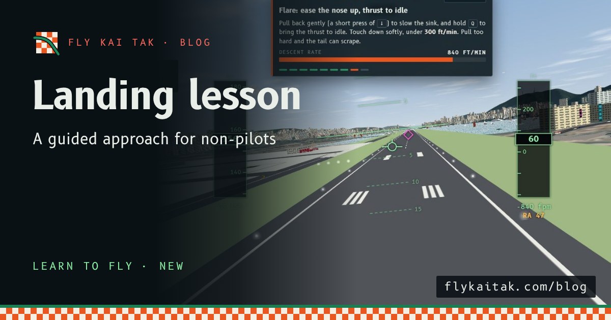
New: a landing lesson for first-time pilots
Fly Kai Tak now has a Landing lesson: a coach panel walks first-time pilots through the Runway 13 IGS approach in nine steps with live meters and plain-language tips.
Read the post →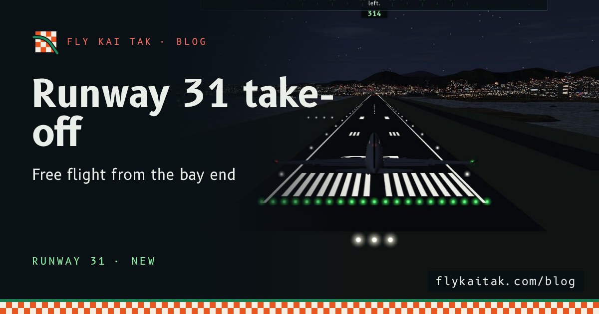
New: take off from Runway 31 in free flight
Fly Kai Tak free flight now starts on Runway 31 as well as Runway 13, with Runway 31 radio calls, mirrored airport traffic and a climb out over Kowloon City.
Read the post →